A team led by Tanzanian remote-sensing scientist Robert Masolele used high-resolution satellite data and deep-learning techniques to draw up a map identifying the drivers of forest conversion in Africa.
The research shows that most deforested land on the continent is turned into small-scale farms, with the Democratic Republic of Congo and Madagascar being hotspots for this pattern of forest loss.
With better remote-sensing data, researchers can pinpoint where agriculture is eating into forested areas and where cash crops are replacing woodland. In this work, the group focused on commodity crops like cacao, oil palm, rubber and coffee, which are targeted under the European Union’s recently enacted rules to restrict import of crops linked to deforestation.
The first high-resolution (5 m) and continental-scale
mapping of land use following deforestation in Africa, including humid and dry forests.
Results show, not surprisingly, that the causes of forest loss vary by region. In general, small-scale cropland is the
dominant driver of forest loss in Africa, with hotspots in Madagascar and DRC. In addition, commodity
crops such as cacao, oil palm, and rubber are the dominant drivers of forest loss in the humid forests of
western and central Africa, forming an “arc of commodity crops” in that region. At the same time, the
hotspots for cashew are found to increasingly dominate in the dry forests of both western and southeastern Africa, while larger hotspots for large-scale croplands were found in Nigeria and Zambia.
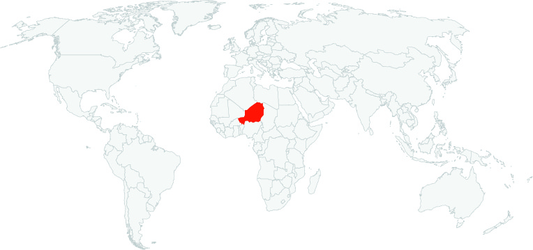
The Niger government on Tuesday said it prosecuted over 120 illegal timbre loggers.
The prosecutions were part of the state’s efforts to stop the further depletion of its forest reserves. According to the government, at least 100 people are awaiting trial.
Click here to access the Global Illegal Logging and Associated Trade (ILAT) Risk assessment tool and to download the Forest Trends User Guide describing the functionality of the ILAT Risk Data Tool.
Click here to access the Cattle Data Tool.


